Professional aerial imagery and mapping that keeps your team informed, your stakeholders confident, and your projects moving.
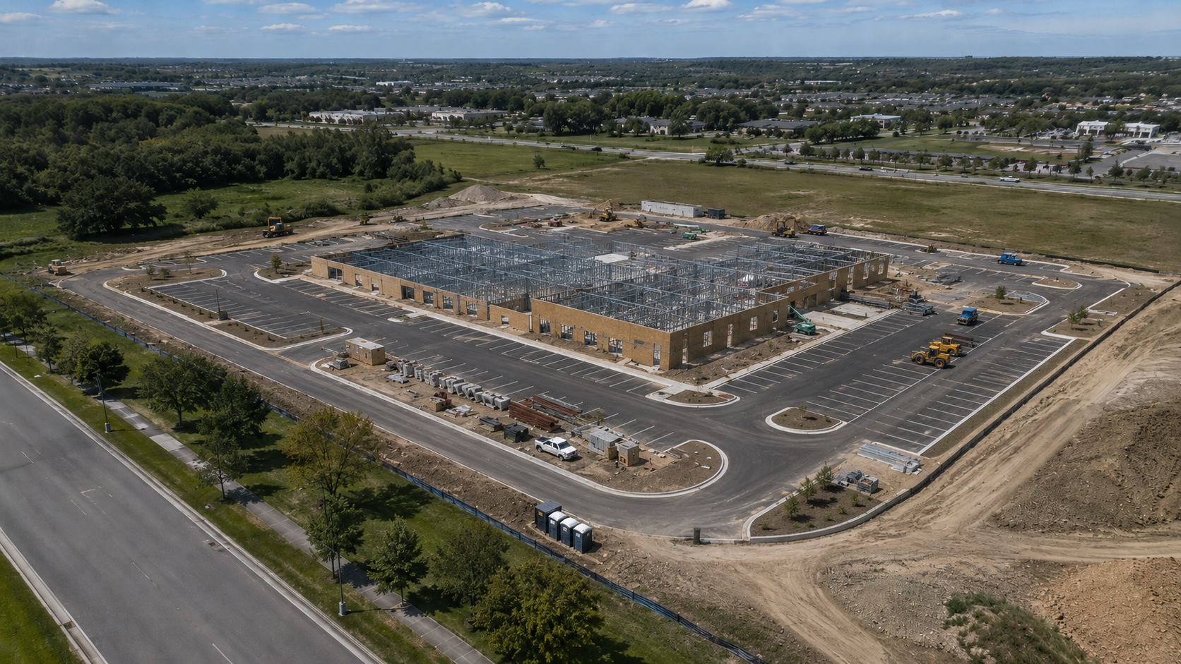
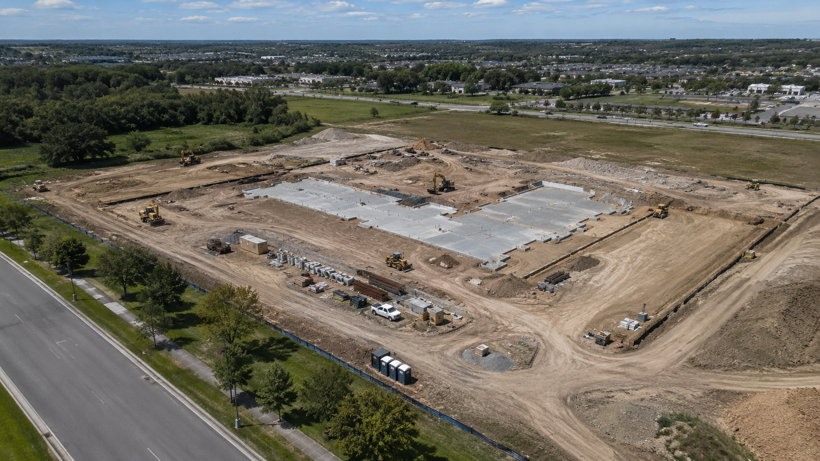
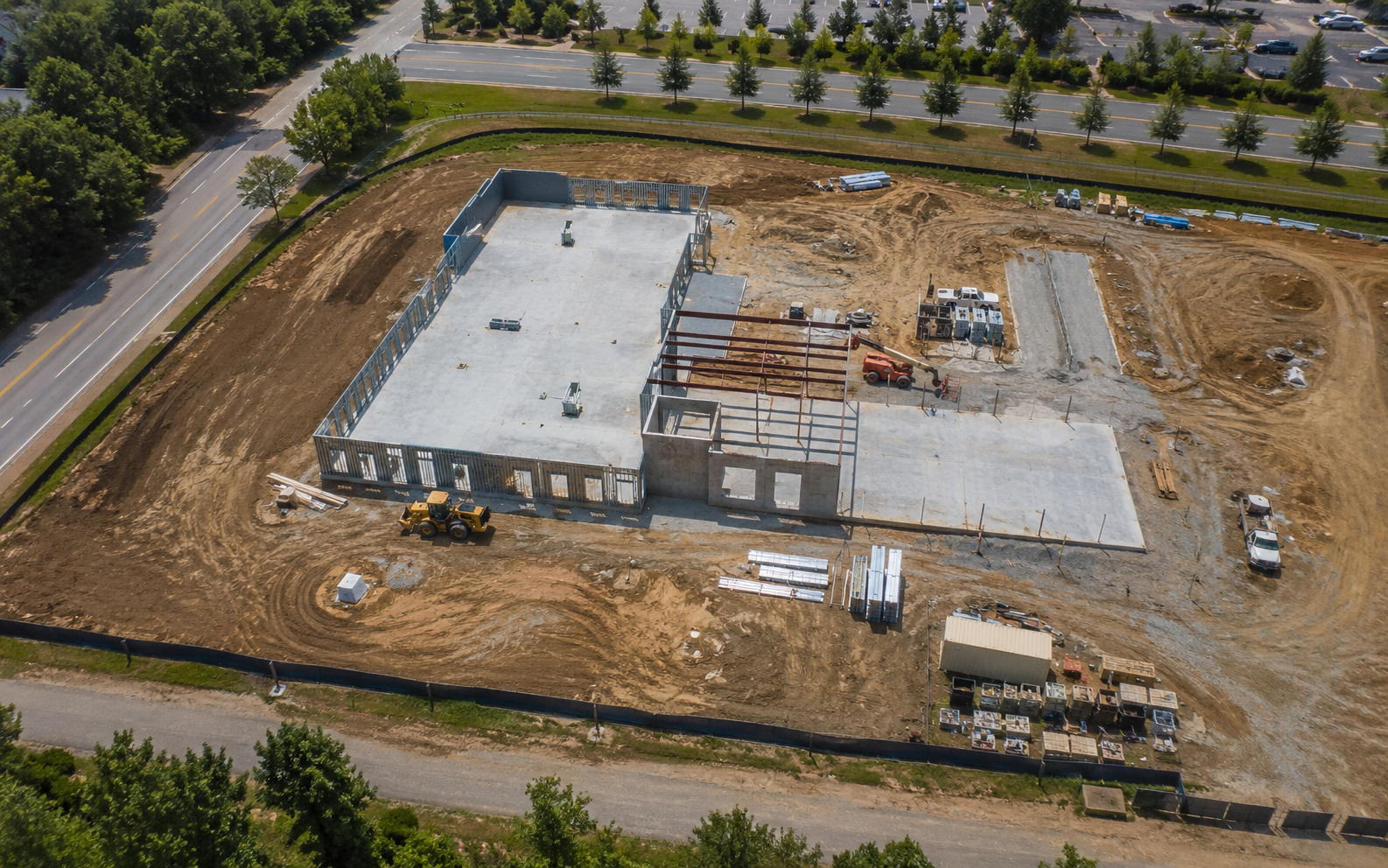
High-resolution aerial photos that document site conditions, progress, and key milestones.
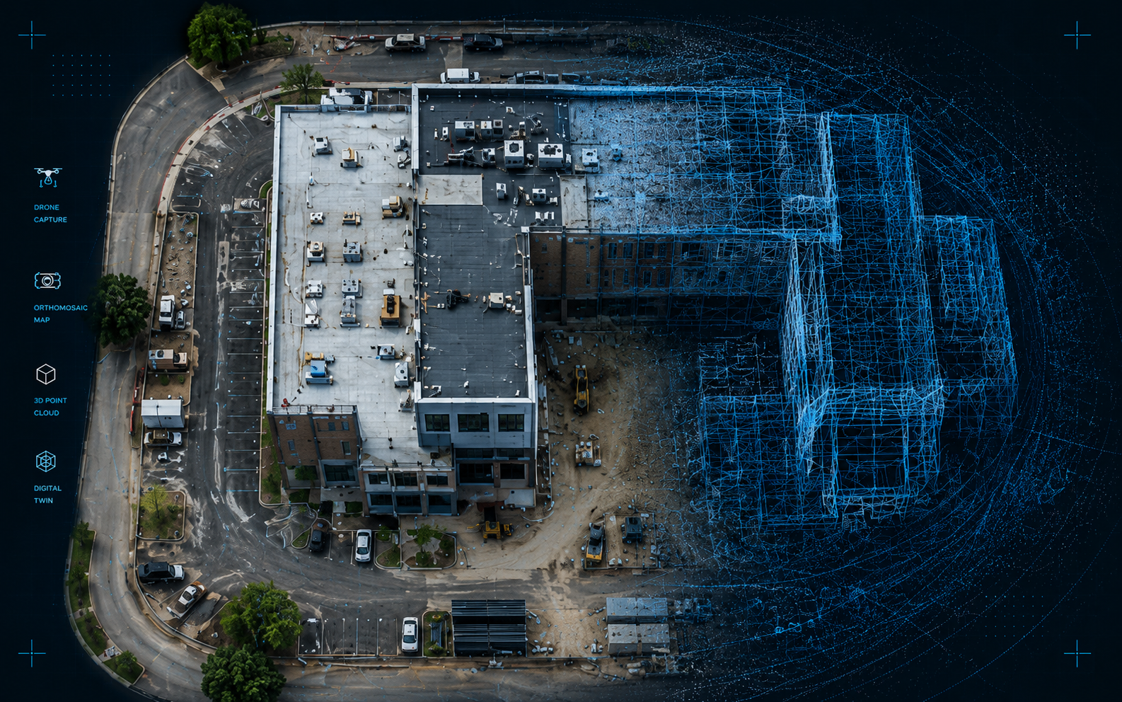
High-resolution overhead maps that show layout, progress, and site activity with accuracy.
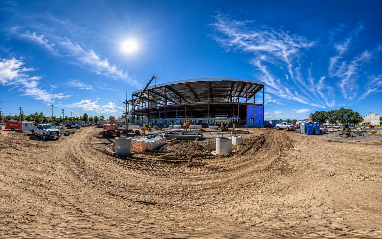
Immersive imagery that helps teams review areas remotely and maintain a better visual record.
From monthly updates to milestone captures, IronBird helps you keep a consistent visual record of your project from start to finish.
Pan and zoom through a live capture — the same interactive view your team gets with every flight.
Site 042 — captured 06.24.2026
We'll talk through the site, timeline, access requirements, and the deliverables your team needs.
IronBird flies the project and captures aerial stills, mapping imagery, and orthomosaic data.
You receive polished visual deliverables that are easy to review, share, and reference.
Tell us where the job is and what you need to see. We'll get back to you to confirm airspace and get a flight on the calendar.